Home » Our solutions » Environmental & Climate Monitoring » Biodiversity Preservation

Biodiversity Preservation

Across the Middle East, preserving biodiversity requires a deeper understanding of species movements and their interaction with increasingly constrained ecosystems.

By combining satellite tracking and environmental intelligence, CLS enables both wildlife protection and sustainable herd management, supporting a balanced coexistence between natural ecosystems and human activities.

Discover

From Wildlife Tracking to Sustainable Herd Management: Data-Driven Biodiversity in Action

We deliver advanced wildlife tracking and environmental monitoring solutions tailored to the unique ecosystems of the Middle East.

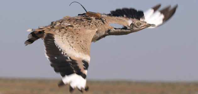
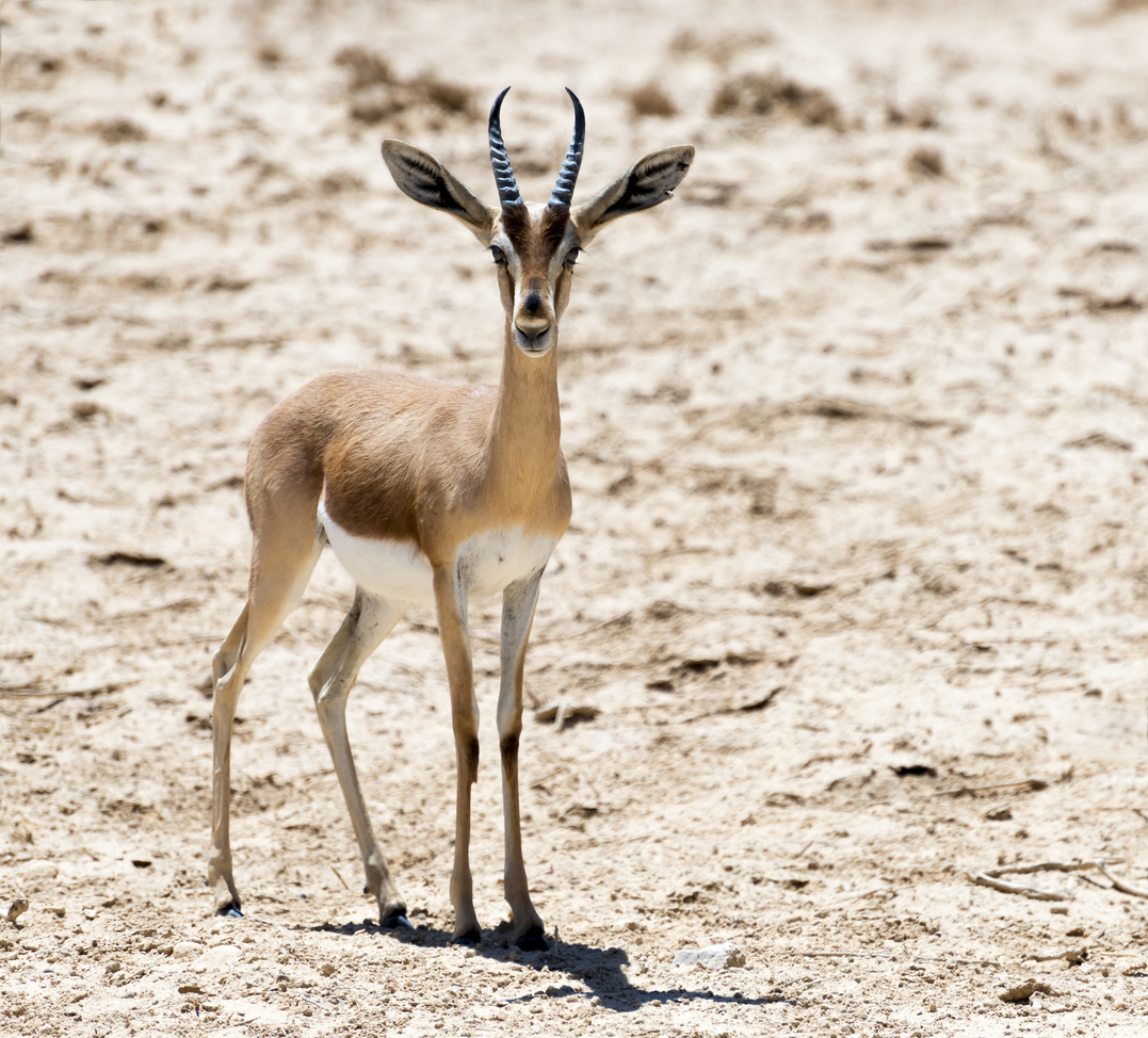
From desert-adapted terrestrial species such as camels and oryx, to migratory birds, marine mammals and fish populations in the Arabian Gulf and surrounding waters, our technologies enable precise and continuous monitoring across highly diverse and often extreme environments.

As a long-standing operator of the Argos satellite system and exclusive provider of its value-added services, CLS offers global satellite connectivity solutions designed to support biodiversity research, conservation and management. Our platforms connect a wide range of transmitters and tracking devices, adapted to the specific constraints of arid climates, remote areas and offshore environments.

Beyond connectivity, CLS solutions integrate advanced sensors and access to a comprehensive set of environmental parameters enhanced by artificial intelligence, including:

  • Sea surface temperature and ocean dynamics
  • Marine productivity and phytoplankton concentration
  • Ocean fronts and habitat mapping
  • Maritime traffic (AIS) and human activity patterns
  • Underwater noise linked to shipping and offshore operations
  • Habitat mapping

This unique combination of data enables a deeper understanding of species behavior, migration patterns and habitat use, while identifying the pressures they face from climate change and habitat degradation to increasing industrial and maritime activity. By bridging the gap between ecosystems and human activities, CLS supports a science-based, data-driven approach to biodiversity management, helping stakeholders protect natural heritage while enabling sustainable development across the region.

8000+

animals tracked every month

300 000

animals already tracked with Argos since the eighty’s

1

Unique platform to manage all different kind of species and help you take the best decision

Our Solutions

Wildlife Tracking

Herd Management

Habitat Monitoring
sea turtle with argos tag

Wildlife Tracking in the Middle East

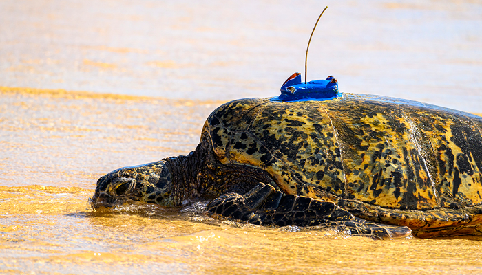
With Argos Services, CLS Middle East helps conservation teams, researchers, government agencies and environmental organizations monitor wildlife across remote and demanding environments.

Argos Services, using satellite connectivity enables the tracking of birds, marine animals, land animals and fish, even in areas beyond cellular coverage.

In the Middle East, these solutions can support biodiversity protection, species conservation, migration studies, marine ecology, protected area management and anti-poaching initiatives. More than just a locating service, Argos services combines reliable location data with environmental information such as weather, ocean conditions, vegetation or temperature to help teams better understand animal behavior and make informed conservation decisions.

Key benefits include:

  • Global coverage,
  • low-power transmitters suitable for long-term monitoring,
  • near real-time location data,
  • alerts for unusual movement,
  • platform finder support,
  • centralized dashboards and
  • advanced data analysis.

Camel

Smart Camel & Herd Monitoring

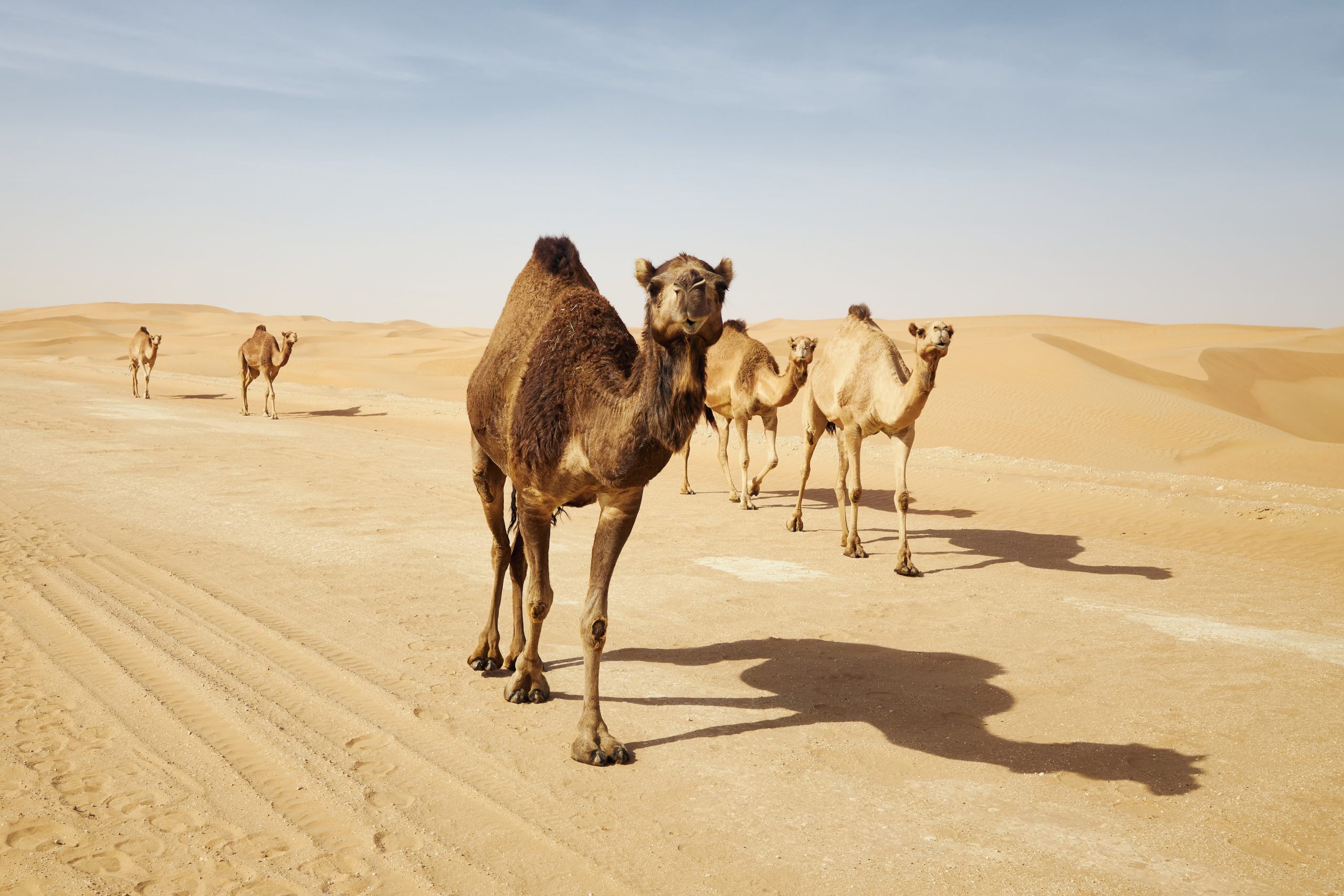
Camels and livestock play a vital role in the Middle East's economy, food security, and cultural heritage. Yet managing herds across vast desert landscapes presents growing challenges, including animal losses, overgrazing, infrastructure conflicts, and limited visibility in remote areas.

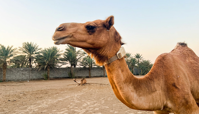
Our satellite-enabled tracking collars provide reliable monitoring of animals wherever they roam, even beyond cellular coverage. Connected with Argos Services, they deliver accurate location data, geofencing alerts, and valuable insights to support sustainable herd management and rangeland preservation.

All data is centralized within our dedicated monitoring platform, giving users a comprehensive view of herd movements, animal behavior, and environmental conditions. By combining tracking data with Earth Observation information such as vegetation, pasture conditions, and drought indicators, the platform supports smarter operational and environmental decision-making.

Designed for harsh environments, our solution helps livestock owners, government agencies, and conservation organizations:

  • improve herd visibility,
  • enhance security,
  • optimize grazing strategies,
  • and manage livestock more efficiently.

mangroves bordering city

Habitat Monitoring

Protecting biodiversity requires more than monitoring species alone, it also requires a deep understanding of the habitats and ecosystems that sustain them.

Through satellite Earth Observation and geospatial intelligence, our habitat monitoring solutions help organizations assess ecosystem health, monitor vegetation dynamics, detect land degradation and desertification, and support long-term conservation strategies.

Mangroves are a prime example of the critical habitats found across the Middle East. These ecosystems provide shelter and breeding grounds for numerous species while also protecting coastlines and contributing to climate resilience.

By monitoring vegetation cover, habitat condition, and ecosystem evolution over time, we help stakeholders better understand environmental change, measure the impact of conservation and restoration initiatives, and support evidence-based biodiversity management across both coastal and terrestrial landscapes.