Home » Our solutions » Environmental & Climate Monitoring » Ocean & Coastal Surveillance

Ocean & Coastal Surveillance

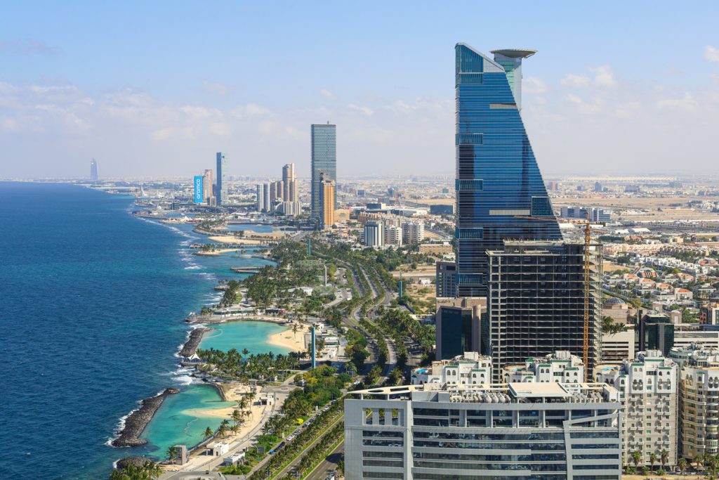
The Middle East’s seas and coastlines are central to its economic development, environmental ambitions, and climate resilience strategies.

Our Ocean & Marine Intelligence solutions combine satellite connectivity, environmental monitoring systems, and advanced data analytics to provide accurate, near real-time information from some of the world’s most remote marine environments.

Discover

Understanding Marine Environments to Support Sustainable Growth

As coastal economies continue to expand across the Arabian Gulf and the Red Sea, access to reliable marine intelligence has become essential for balancing economic development with environmental stewardship.

Our integrated solutions combine environmental monitoring systems, satellite communications, and advanced data platforms to transform ocean observations into actionable insights.

By providing a comprehensive understanding of marine conditions and ecosystem dynamics, we help organizations monitor environmental change, assess risks, support sustainable operations, and strengthen the resilience of coastal and offshore assets.

From marine research and conservation programs to ports, offshore industries, and large-scale coastal developments, decision-makers can rely on timely, trusted information to support long-term success.

90+

In-house oceanographers

3.6mm/year

Sea level rise calculated by our experts

30+

Years of altimetry expertise

Our Solutions for Ocean & Coastal Surveillance

Ocean Monitoring

Coastal Risks
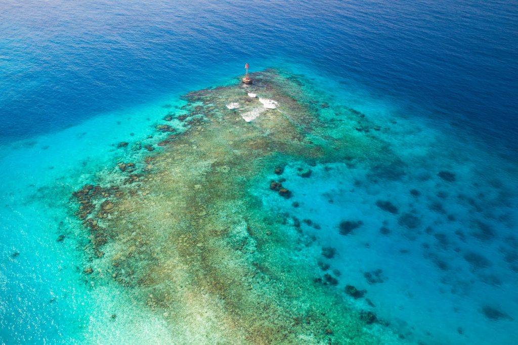
Shallow waters of Persian Gulf

Ocean Observation & Environmental Monitoring

Healthy oceans are fundamental to climate regulation, biodiversity conservation, and the sustainable development of coastal economies.

Yet marine environments remain challenging to observe and understand due to their scale, remoteness, and constantly changing conditions.

Using satellite-connected buoys, autonomous platforms, oceanographic sensors, and environmental monitoring networks, we enable organizations to collect, transmit, and manage critical environmental data from offshore and coastal environments.

As an Argos Services provider and Iridium Value-Added Reseller (VAR), CLS Middle East offers a complete ocean telemetry solution, combining satellite connectivity, secure data transmission, data hosting, and intuitive visualization platforms. This one-stop approach simplifies the deployment and operation of ocean observing systems, allowing users to focus on the science rather than the technology.

These observations support scientific research, environmental monitoring programs, and operational decision-making across a wide range of marine applications, providing reliable environmental intelligence from the field to the final user.

Skyline - Arial View

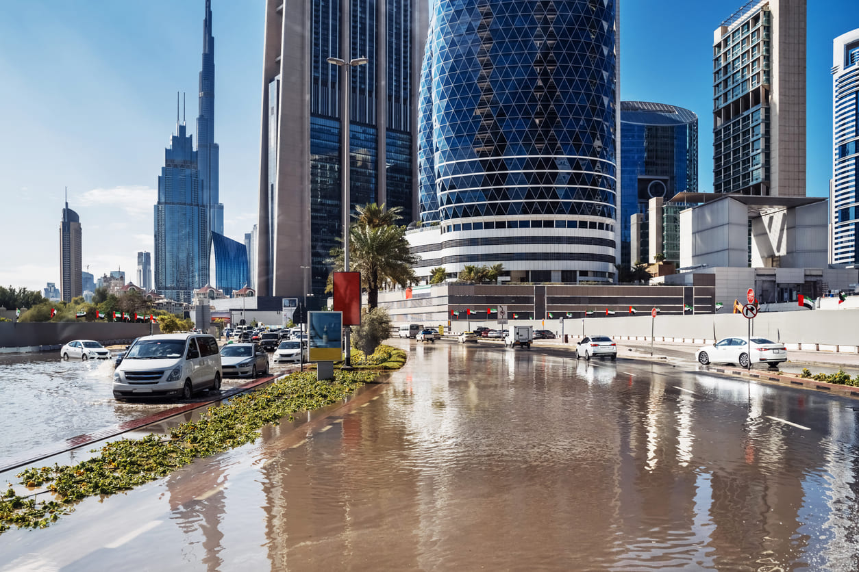
Coastal Flooding & Climate Risk Intelligence

Coastal regions across the Middle East are facing growing exposure to flooding, coastal submersion, and climate-related hazards.

As investments in ports, waterfront developments, tourism destinations, and critical infrastructure accelerate, access to reliable environmental intelligence is essential to support resilient planning and risk management.

Our integrated monitoring solutions combine ocean observations, satellite technologies, and advanced analytics to deliver actionable insights into coastal dynamics and marine conditions.

By helping organizations better understand exposure to flooding and coastal hazards, we support informed decision-making, enhanced preparedness, and the long-term protection of coastal assets and communities.