
Sustainable Land Management
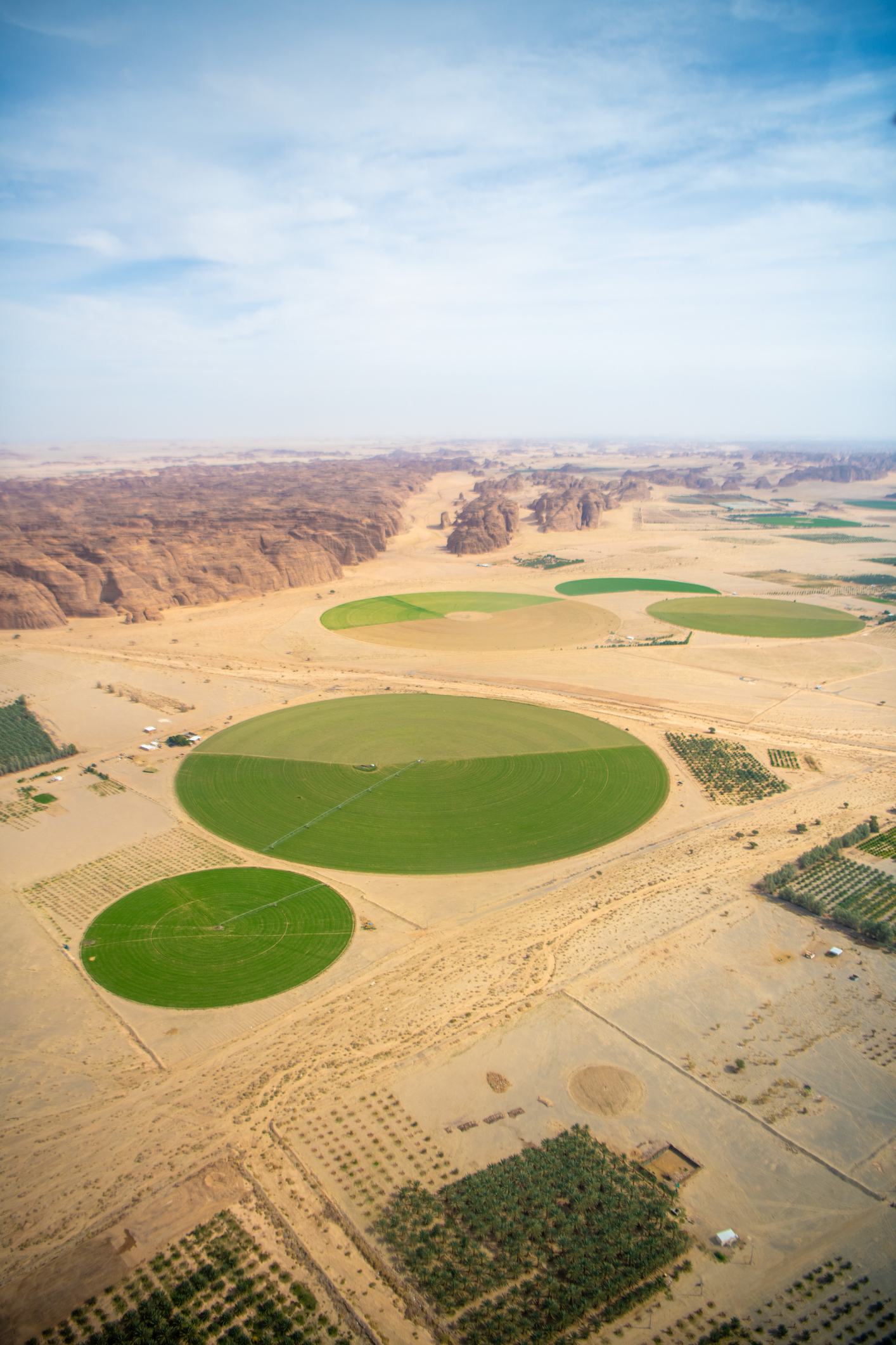
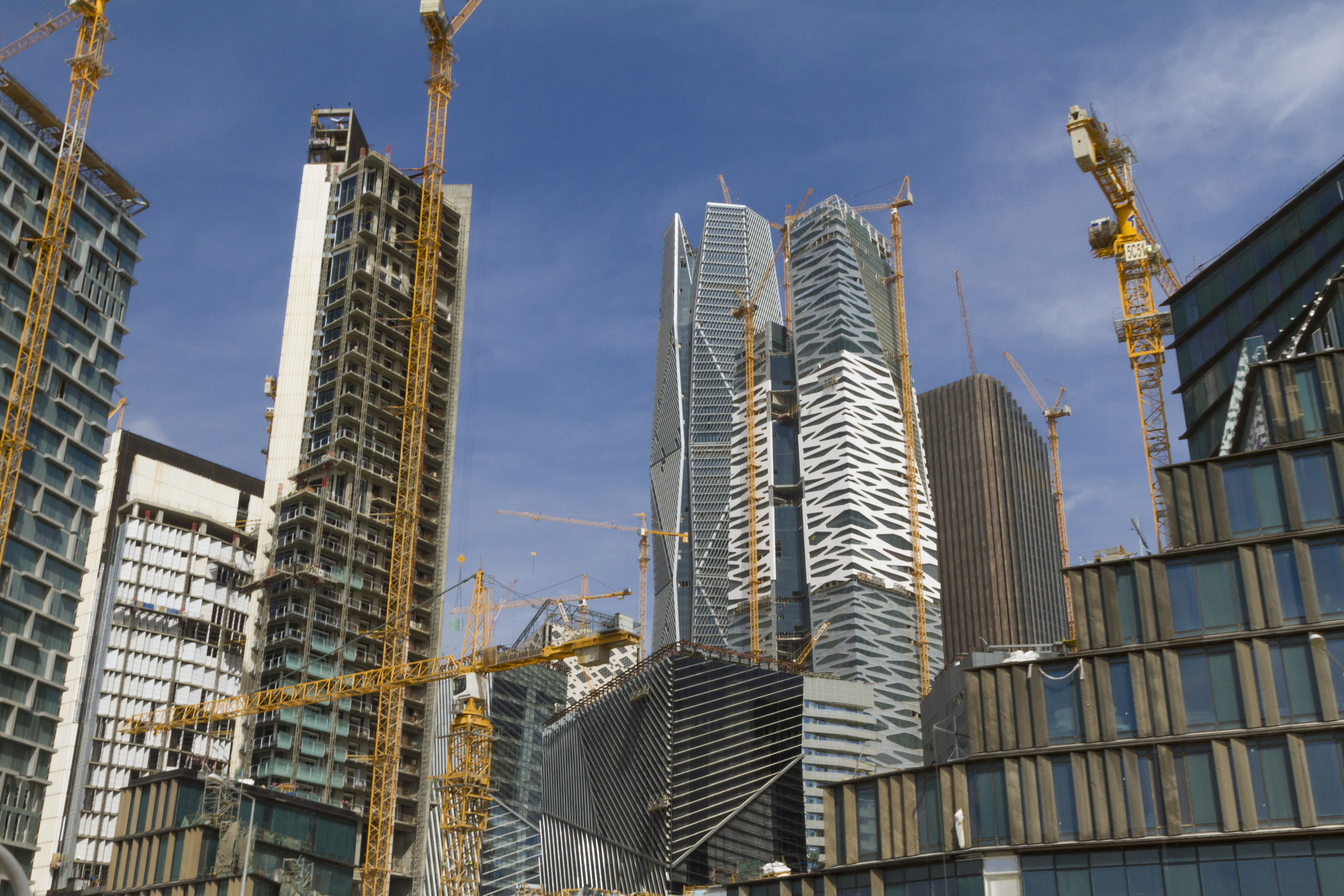
The Middle East is undergoing one of the world’s fastest transformations. Ambitious infrastructure projects, expanding urban centers, food security initiatives, and climate adaptation programs are reshaping landscapes across the region.
From smart agriculture and coastal resilience to urban planning and transport optimization, our solutions help organizations make informed decisions across the Middle East.

Turning Geospatial Data into Sustainable Development
As the Middle East continues to grow through ambitious urban developments, infrastructure projects, and economic diversification initiatives, balancing development with environmental stewardship has become a strategic priority.
Governments, municipalities, and developers need reliable geospatial intelligence to better understand how territories evolve, optimize land use, and support long-term sustainability objectives.
CLS Middle East combines Earth Observation, geospatial analytics, and digital platforms to provide a comprehensive view of land, environmental, and territorial dynamics. Our solutions enable the monitoring of land-use change across urban, agricultural, and natural environments, helping stakeholders assess development impacts, optimize planning, and support informed decision-making aligned with national sustainability ambitions.
Beyond land management, we help organizations monitor environmental quality through advanced air quality, atmospheric pollution, noise, and industrial emissions monitoring. Combined with mobility analytics and traffic intelligence, these solutions support healthier, more sustainable cities by identifying pollution hotspots, improving urban planning, and strengthening environmental compliance.
We also support organizations in building more transparent and sustainable value chains through geospatial intelligence and digital traceability solutions. By verifying the origin of products and commodities, monitoring sourcing practices, and supporting compliance with environmental and ESG requirements, we help stakeholders reduce risks, strengthen supply chain transparency, and demonstrate their commitment to responsible sourcing.
By transforming environmental and geospatial data into actionable intelligence, CLS Middle East enables organizations to make informed decisions, improve environmental performance, and support the development of more resilient, sustainable, and livable territories.
100+
Air quality monitoring stations in the Middle East
300+
Cities mapped at large scale
30+
Years of experience in land mapping
Our Solutions for Sustainable Land Management
Urban Expansion Monitoring
Agriculture
Sustainability & Traceability

One Platform, One Vision
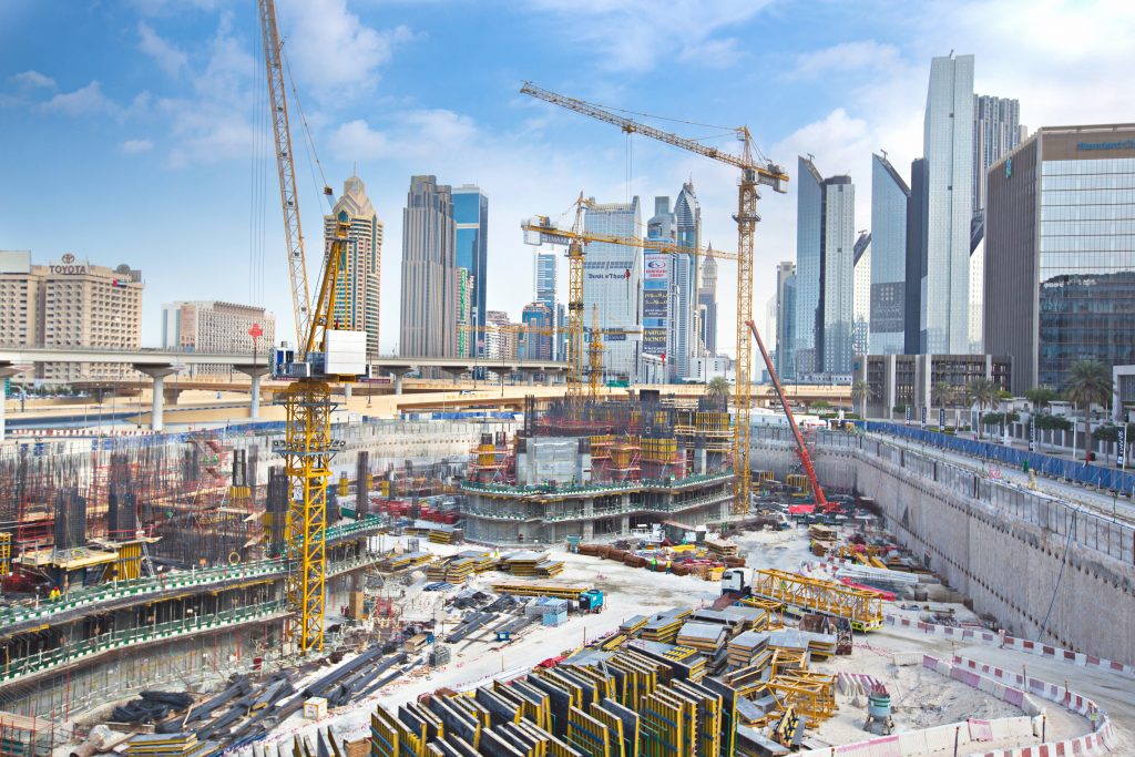
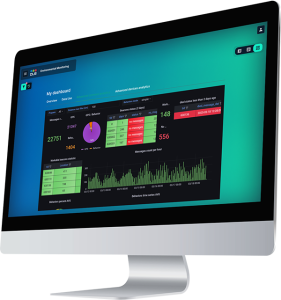
All environmental insights can be accessed through intuitive digital platforms designed to bring together satellite observations, environmental indicators, mapping products, and operational analytics in a single environment.
This integrated approach allows users to move from data collection to informed action, improving collaboration, accelerating decision-making, and maximizing the value of geospatial intelligence.
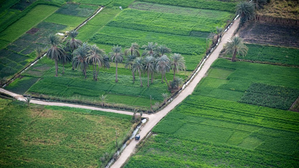
By combining expertise in Earth Observation, geospatial analytics, artificial intelligence, and environmental monitoring, we help organizations across the Middle East build more resilient territories, strengthen food security, protect natural resources, and support sustainable economic growth.
Ready to transform data into action?
Contact our team to discuss your project or discover how our solutions can support your sustainability, planning, and resilience objectives.
Receive our Environmental Services brochure by email
Please fill in the form below to receive the Environmental Services brochure by email.
* Required fields