
Oil Spill Monitoring
Operational Intelligence for Oil Spill Detection and ResponseProtecting offshore assets and coastal environments requires more than detecting an oil spill.
CLS integrates satellite imagery, maritime traffic intelligence and advanced drift modelling to help authorities and operators assess the situation, identify potential polluters and support timely, informed response decisions.
From Detection to Decision: An End-to-End Oil Spill Solution

Satellite Detection
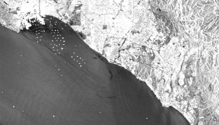
Detect potential oil spills rapidly using multi-source SAR satellite imagery.

Operational Intelligence
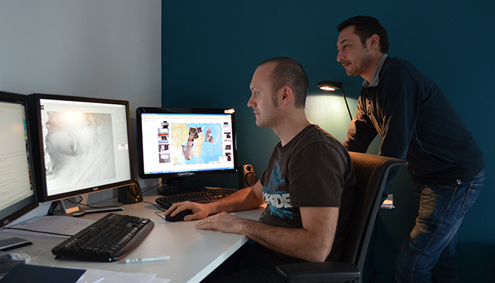
Assess spill evolution, forecast drift and identify potential polluters through a single operational platform.

Field Validation
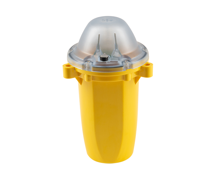
Track spill movement in real conditions using satellite-connected drifting MAR-GE/T floatable beacon to support response teams.
MARGE/T
Satellite Drifter for In-Situ Oil Spill Tracking
Track the movement of floating oil spills in real time with MARGE/T, a compact satellite-enabled drifting beacon designed for in-situ pollution monitoring.
Once deployed on the slick, the beacon follows the pollution while transmitting up to 96 GPS positions per day via the Argos satellite network. With global coverage and configurable geofencing, MARGE/T provides reliable data to support oil spill response and environmental monitoring.
Get in touch with CLS
Looking for a trusted partner in maritime surveillance? CLS supports both public authorities and private organisations with advanced solutions tailored to their operational needs. Contact our team to discover how we can help improve your efficiency, strengthen situational awareness, and achieve your maritime objectives.